File:NOAA NCEI Bathymetry Methods.png: Difference between revisions
Jump to navigation
Jump to search
No edit summary |
(No difference)
|
Latest revision as of 19:50, 1 August 2022
Main Page of NCEI Bathymetry showing the two methods to download data, creating the grid and search the DEM
File history
Click on a date/time to view the file as it appeared at that time.
| Date/Time | Thumbnail | Dimensions | User | Comment | |
|---|---|---|---|---|---|
| current | 19:50, 1 August 2022 | 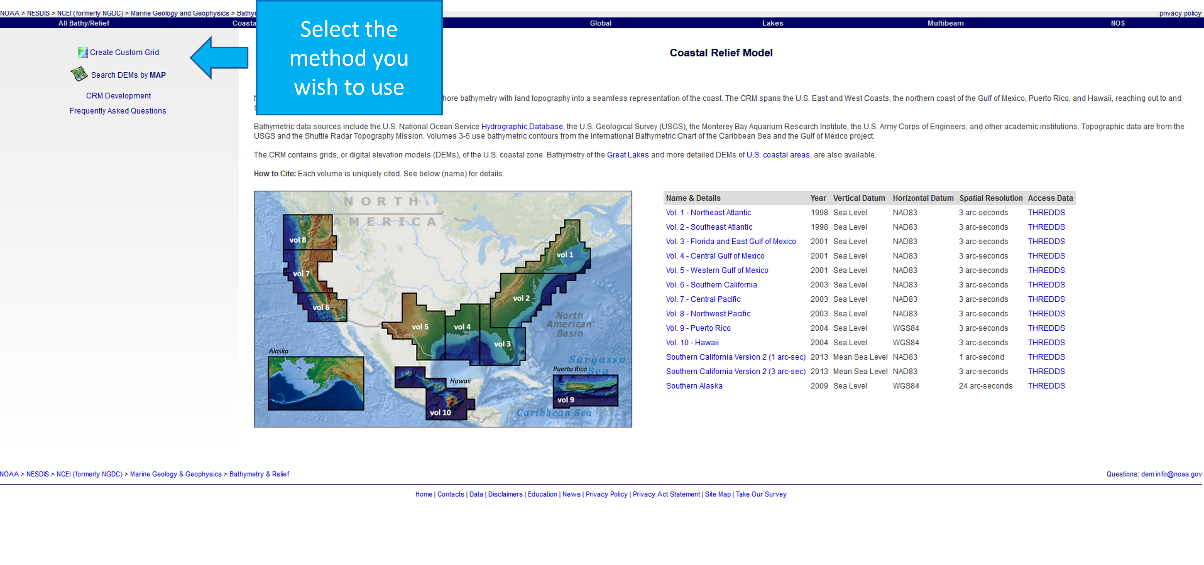 | 4,110 × 1,929 (3.66 MB) | Rdchllbm (talk | contribs) |
You cannot overwrite this file.
File usage
There are no pages that use this file.