Inlets: Difference between revisions
Jump to navigation
Jump to search
No edit summary |
No edit summary |
||
| Line 9: | Line 9: | ||
*[http://www.oceanscience.net/inletsonline/ Inlets Online] | *[http://www.oceanscience.net/inletsonline/ Inlets Online] | ||
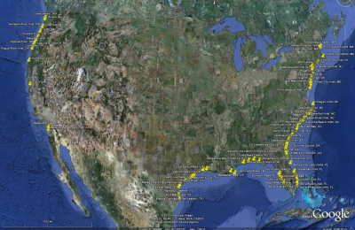
*[http://www.oceanscience.net/inletsonline/map/map.html Link to Inlets Online Google Map Viewer] | |||
*[http://www.oceanscience.net/inletsonline/map/map.html Link to Inlets Online Google Map Viewer] | *[http://www.oceanscience.net/inletsonline/map/map.html Link to Inlets Online Google Map Viewer] | ||
</font> | </font> | ||
Revision as of 16:20, 24 February 2012

The Inlets Geospatial Databases include different spatial datasets assembled and developed by the CIRP in support of inlet navigation channel research. The sources of data are assembled from a wide range of sources from multiple US Government authorities and scientific studies over a significant temporal coverage. The sources used were determined to be high quality products that use appropriate scientific methods. Some data are the only account of the information available at a particular location. Use of this product may require additional research to original sources for verification and notice of any updated information.
Back to Main Page