Inlets: Difference between revisions
Jump to navigation
Jump to search
No edit summary |
No edit summary |
||
| Line 17: | Line 17: | ||
Back to [[Main_Page | Main Page]] | Back to CIRP [[Main_Page | Main Page]] | ||
Revision as of 16:21, 24 February 2012

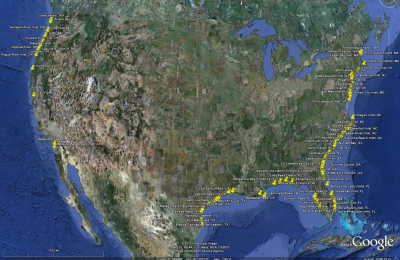
A Google image of inlets locations. Google KMZ file: File:Inlets 071811 kmz.zip
The Inlets Geospatial Databases include different spatial datasets assembled and developed by the CIRP in support of inlet navigation channel research. The sources of data are assembled from a wide range of sources from multiple US Government authorities and scientific studies over a significant temporal coverage. The sources used were determined to be high quality products that use appropriate scientific methods. Some data are the only account of the information available at a particular location. Use of this product may require additional research to original sources for verification and notice of any updated information.
Back to CIRP Main Page