File:Shoreline Change Calculation.png
Jump to navigation
Jump to search
Size of this preview: 607 × 599 pixels. Other resolution: 1,016 × 1,003 pixels.
Original file (1,016 × 1,003 pixels, file size: 128 KB, MIME type: image/png)
Summary
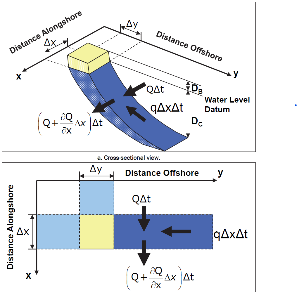
The definition sketch for the shoreline change calculation, showing a cross sectional and plan view of the shoreline and the boundary conditions.
File history
Click on a date/time to view the file as it appeared at that time.
| Date/Time | Thumbnail | Dimensions | User | Comment | |
|---|---|---|---|---|---|
| current | 15:15, 20 December 2022 | | 1,016 × 1,003 (128 KB) | RDCHLSLS (talk | contribs) | The definition sketch for the shoreline change calculation, showing a cross sectional and plan view of the shoreline and the boundary conditions. |
You cannot overwrite this file.
File usage
The following page uses this file: