Uploads by U4hcsdaw
Jump to navigation
Jump to search
This special page shows all uploaded files.
| Date | Name | Thumbnail | Size | Description | Versions |
|---|---|---|---|---|---|
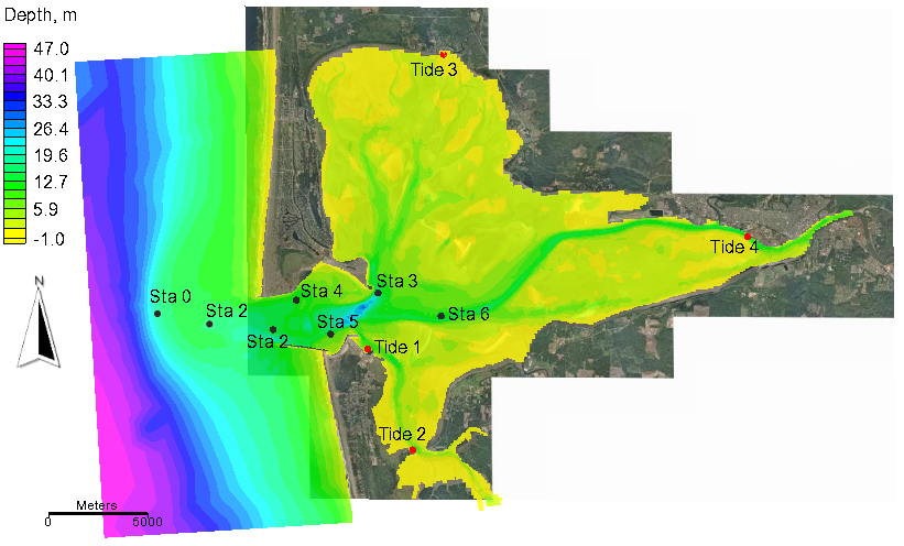
| 17:00, 23 April 2014 | Grays Harbor.png (file) |  |
267 KB | MsUpload | 1 |
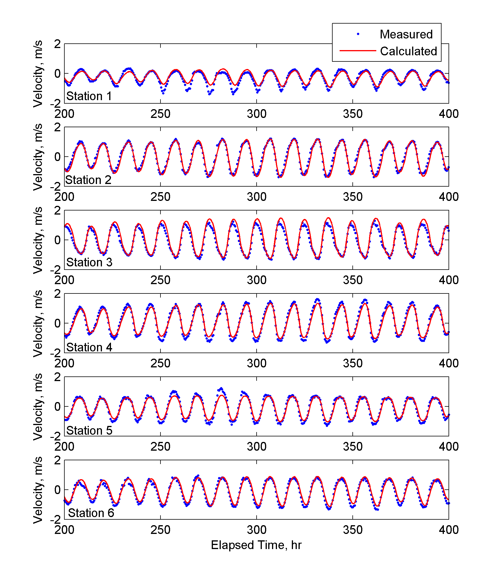
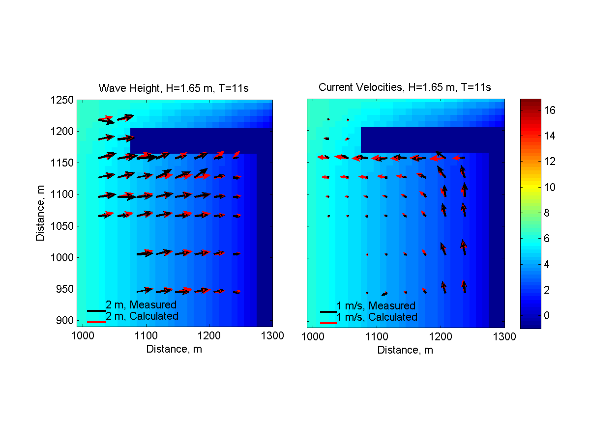
| 17:00, 23 April 2014 | Grays Harbor Velocities.png (file) |  |
68 KB | MsUpload | 1 |
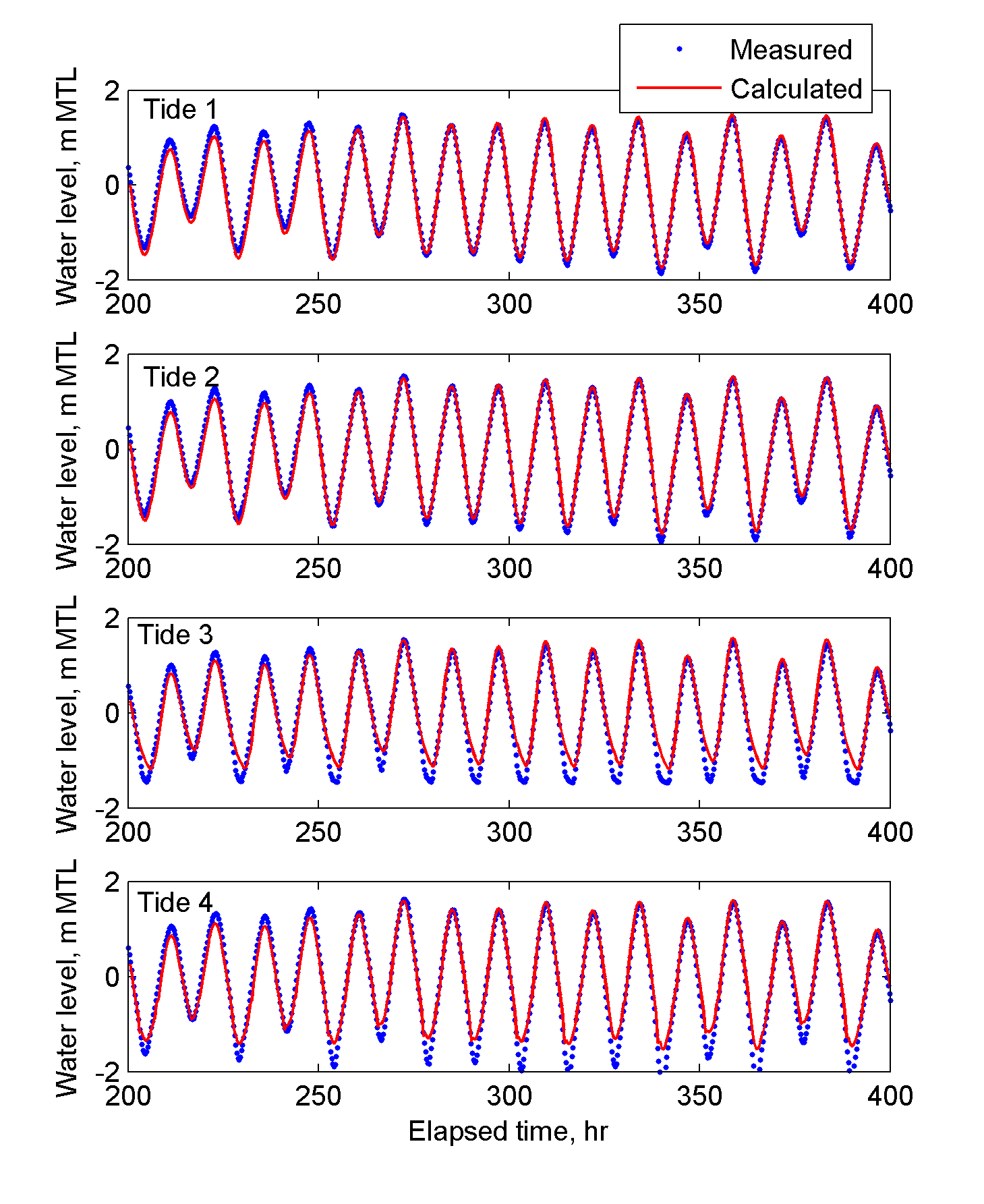
| 17:00, 23 April 2014 | Grays Harbor Tide Levels.png (file) |  |
65 KB | MsUpload | 1 |
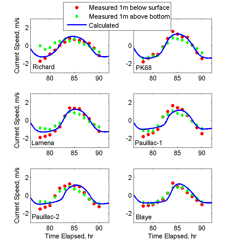
| 16:57, 23 April 2014 | Gironde Current Speed.png (file) |  |
21 KB | 1 | |
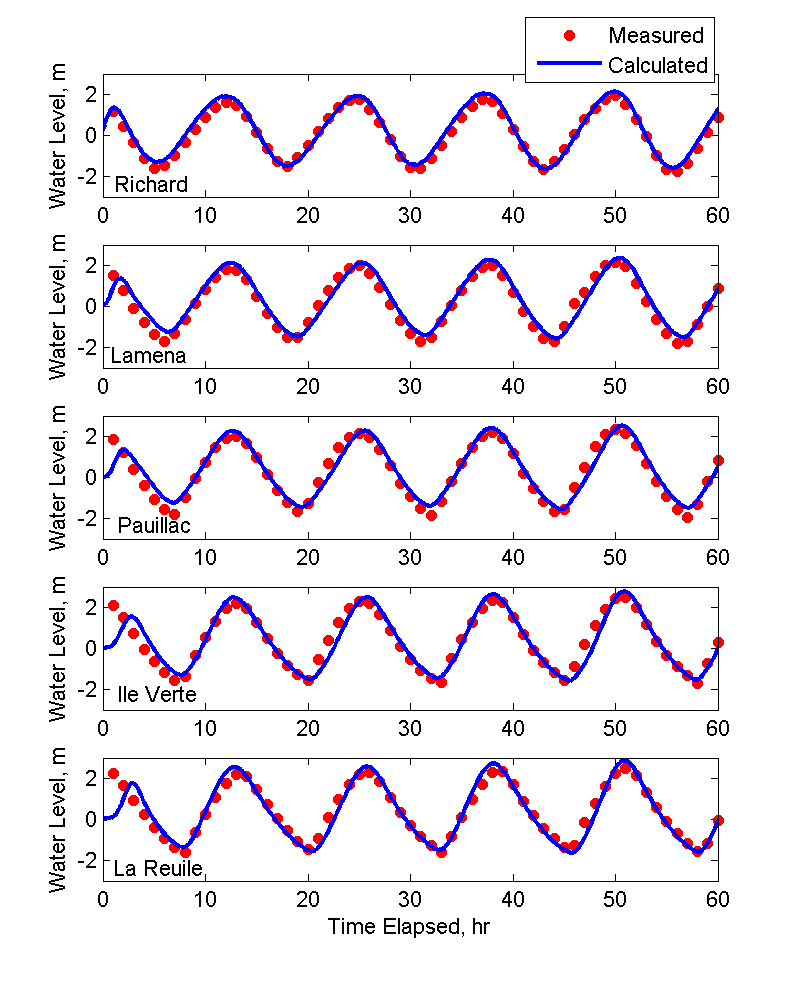
| 16:56, 23 April 2014 | Gironde Water Levels.png (file) |  |
32 KB | 1 | |
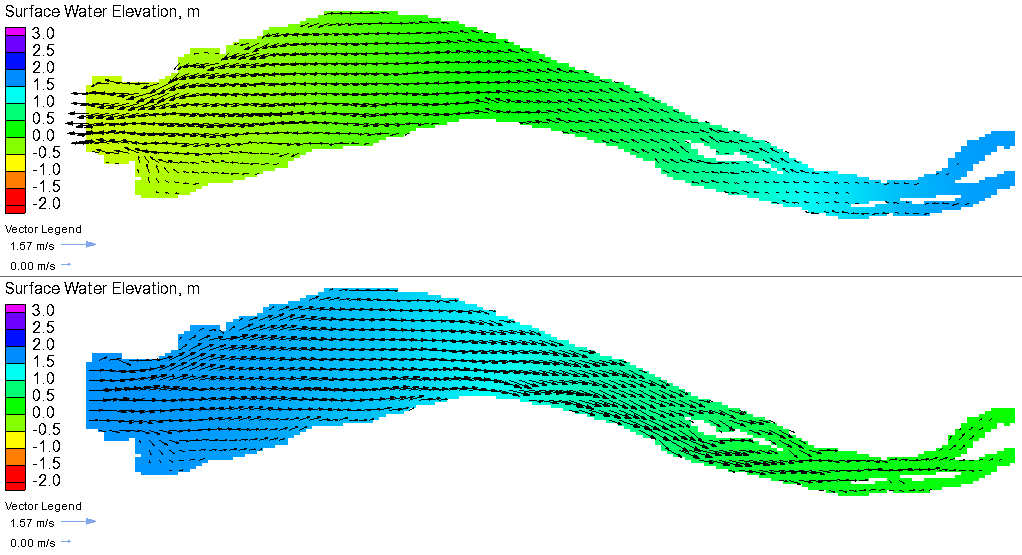
| 16:56, 23 April 2014 | Gironde Currents.png (file) |  |
70 KB | 1 | |
| 16:55, 23 April 2014 | Gironde Estuary Computational Grid.png (file) | 55 KB | 1 | ||
| 16:54, 23 April 2014 | Gironde Estuary.png (file) |  |
19 KB | 1 | |
| 22:55, 21 April 2014 | Cross-Shore Transects Case3.png (file) | 19 KB | 1 | ||
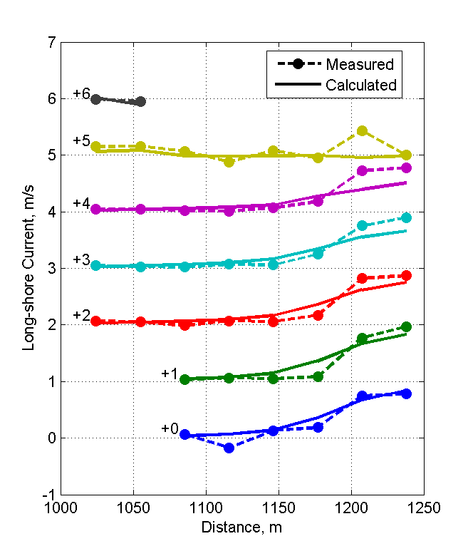
| 22:54, 21 April 2014 | Cross-Shore Currents Case2.png (file) |  |
19 KB | 1 | |
| 22:23, 16 April 2014 | Cross-Shore Transects Case2.png (file) | 17 KB | 1 | ||
| 22:21, 16 April 2014 | Cross-Shore Transects.png (file) | 16 KB | 1 | ||
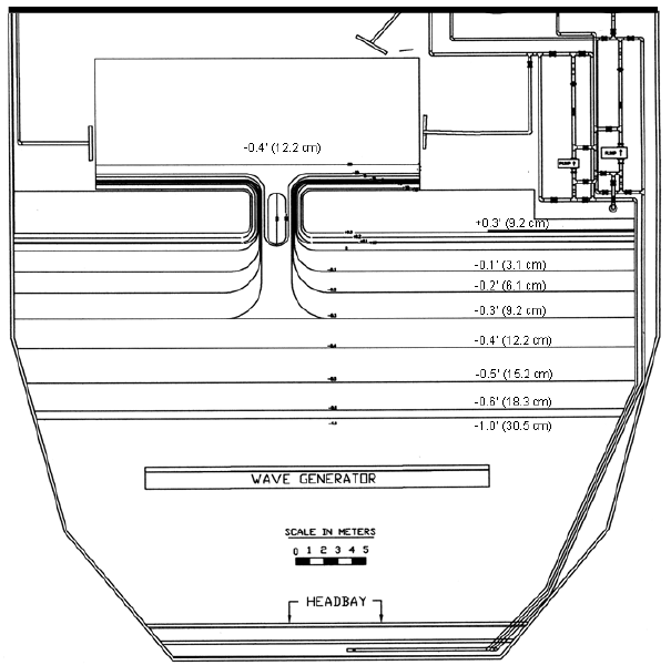
| 22:11, 16 April 2014 | Idealized Inlet Model Setup.png (file) |  |
103 KB | MsUpload | 1 |
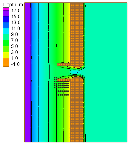
| 22:11, 16 April 2014 | Idealized Inlet Computational Grid.png (file) |  |
20 KB | MsUpload | 1 |
| 22:11, 16 April 2014 | Idealized Inlet Wave Heights.png (file) |  |
25 KB | MsUpload | 1 |
| 22:11, 16 April 2014 | Cross-Shore Transects Measured.png (file) | 14 KB | MsUpload | 1 | |
| 22:11, 16 April 2014 | Cross-Shore Transects Calculated.png (file) | 14 KB | MsUpload | 1 | |
| 22:11, 16 April 2014 | Idealized Inlet Wave Heights Case2.png (file) |  |
29 KB | MsUpload | 1 |
| 22:11, 16 April 2014 | Cross-Shore Currents Measured Case2.png (file) |  |
16 KB | MsUpload | 1 |
| 22:11, 16 April 2014 | Cross-Shore Currents Calculated Case2.png (file) |  |
16 KB | MsUpload | 1 |
| 22:10, 16 April 2014 | Measured Calculated Wave Height Case3.png (file) |  |
31 KB | MsUpload | 1 |
| 22:10, 16 April 2014 | Cross-Shore Currents Measured Case3.png (file) |  |
15 KB | MsUpload | 1 |
| 22:10, 16 April 2014 | Cross-Shore Currents Calculated Case3.png (file) |  |
16 KB | MsUpload | 1 |
| 22:10, 16 April 2014 | Measured Calculated Transects Case3.png (file) | 19 KB | MsUpload | 1 | |
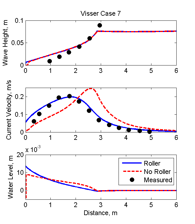
| 20:44, 16 April 2014 | Visser Wave Heights Case7.png (file) |  |
13 KB | 1 | |
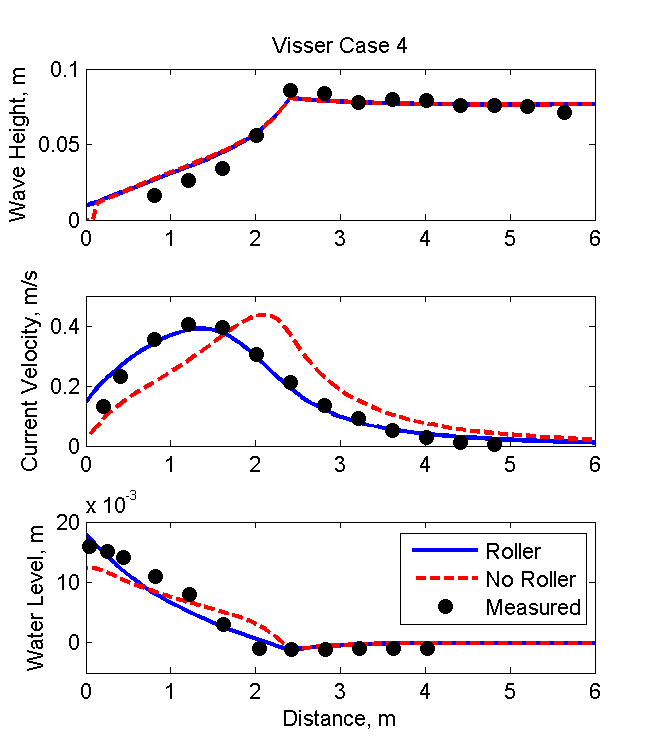
| 20:42, 16 April 2014 | Visser Wave Heights Case4.png (file) |  |
14 KB | 1 | |
| 20:36, 16 April 2014 | Visser Current.png (file) |  |
13 KB | 1 | |
| 20:31, 16 April 2014 | Visser Wave Heights.png (file) |  |
13 KB | 1 | |
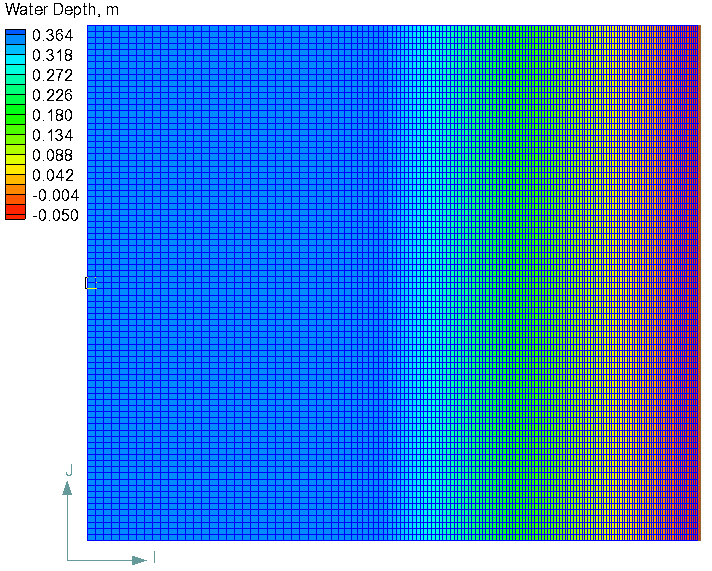
| 20:30, 16 April 2014 | Visser test grid.png (file) |  |
11 KB | 1 | |
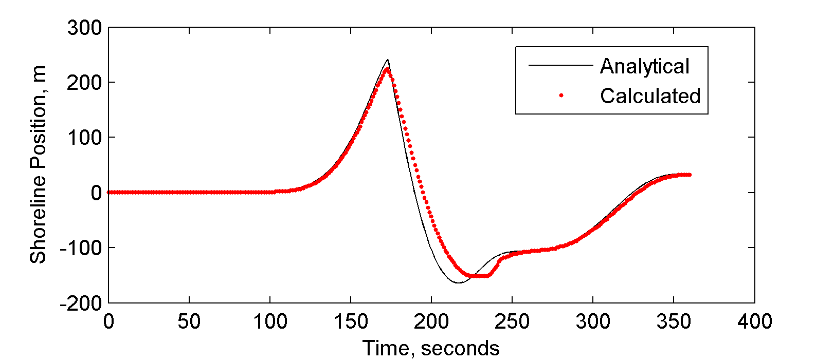
| 22:18, 15 April 2014 | Long wave Shoreline.png (file) |  |
16 KB | 1 | |
| 22:17, 15 April 2014 | Long wave runup Elevation.png (file) |  |
92 KB | 1 | |
| 22:17, 15 April 2014 | Long wave runup test.jpg (file) |  |
22 KB | 1 | |
| 22:15, 15 April 2014 | Bump flow elevation.png (file) |  |
22 KB | 1 | |
| 22:14, 15 April 2014 | Bump flow.png (file) |  |
8 KB | 1 | |
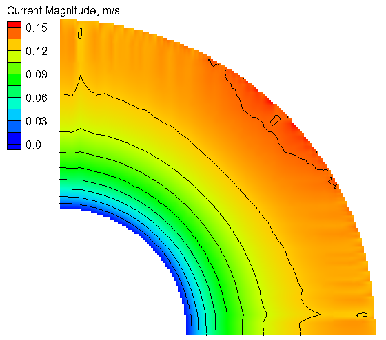
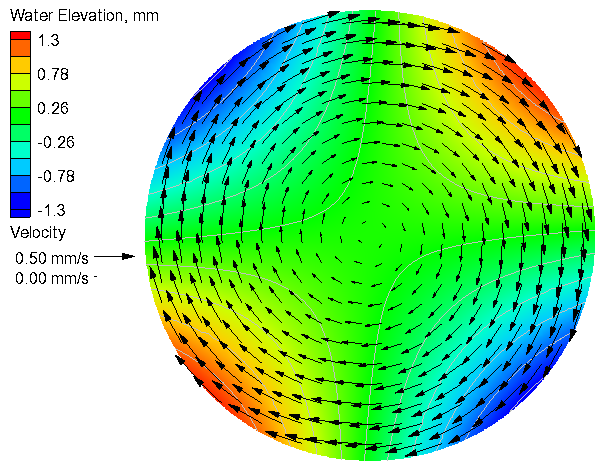
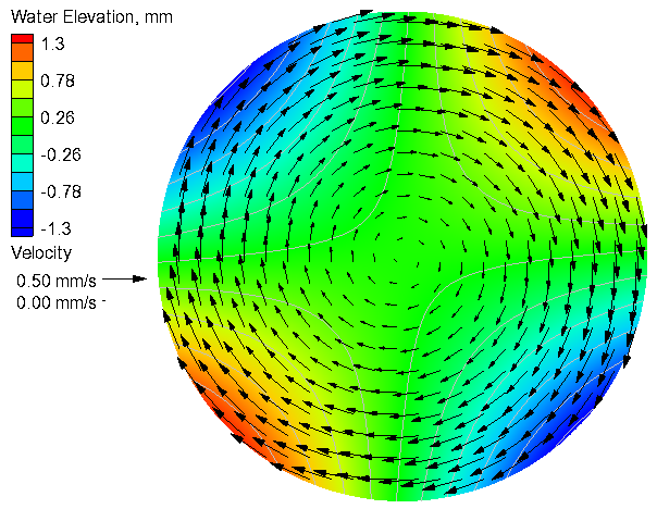
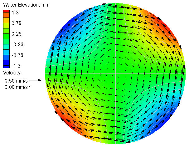
| 22:10, 15 April 2014 | Quarter annulus current.png (file) |  |
54 KB | 1 | |
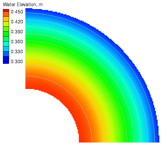
| 22:10, 15 April 2014 | Quarter annulus water level.png (file) |  |
48 KB | 1 | |
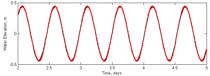
| 22:09, 15 April 2014 | Wl timeSeries.png (file) |  |
8 KB | 1 | |
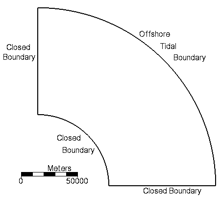
| 22:09, 15 April 2014 | Tidal quarter annulus.png (file) |  |
4 KB | 1 | |
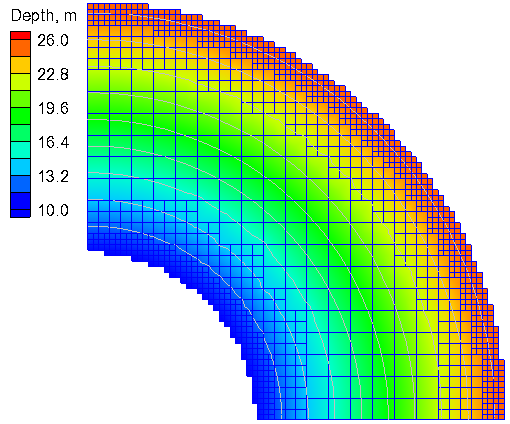
| 22:08, 15 April 2014 | Tidal quarter annulus grid.png (file) |  |
56 KB | 1 | |
| 22:03, 15 April 2014 | Calculated with coriolis.png (file) |  |
86 KB | 1 | |
| 22:03, 15 April 2014 | Analytical with coriolis.png (file) |  |
84 KB | 1 | |
| 22:02, 15 April 2014 | Calculated without coriolis.png (file) |  |
85 KB | 1 | |
| 22:00, 15 April 2014 | Analytical without coriolis.png (file) |  |
83 KB | 1 | |
| 21:59, 15 April 2014 | Wind circular basin.png (file) |  |
11 KB | 1 | |
| 20:45, 15 April 2014 | Analytical and Calculated Water Level Profile.png (file) |  |
5 KB | 1 | |
| 19:55, 15 April 2014 | Calculated WL IrregDom b.png (file) |  |
7 KB | 1 | |
| 19:50, 15 April 2014 | Calculated WL IrregDom a.png (file) |  |
6 KB | 1 | |
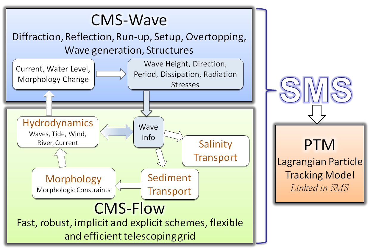
| 20:02, 6 March 2014 | CMS Framework.png (file) |  |
129 KB | 1 |